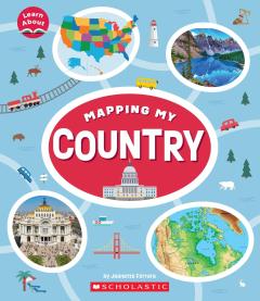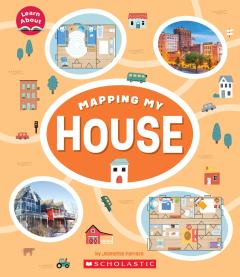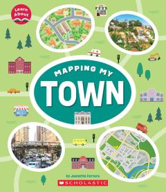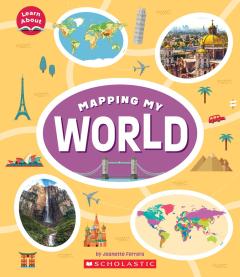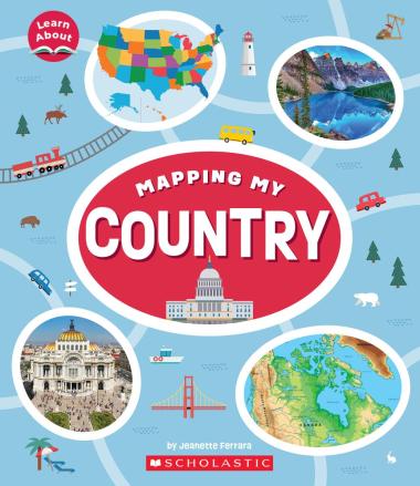
Mapping My Country (Learn About: Mapping)
About this book
There are families living in countries across the Americas and all around the world. From Canada, the United States, and Mexico to Central America, countries can look very different but still have a lot in common. Learn how to use map features like a key, compass rose, and a scale to answer questions about direction, measurement, and symbols. Look at photos of different countries, and use the maps inside the book to navigate and compare what is the same and what is different between them. At the end, you will be ready to draw a map of your own country. All this and more in Mapping My Country!
ABOUT THE SERIES:
Starting from their bedroom, and moving to their home, street, neighborhood, town, state, country, continent, and finally, planet, children will gain a whole new understanding of their place in the world with this engaging picture book series. With illustrated maps drawn at different scales and vibrant photographs throughout to illustrate real locations, children will learn about map features, how to read maps and answer questions, and how to draw their own maps. Maps are everywhere and understanding them is key to navigating our world. With this brand new and original four-book series, children will expand their role as citizens.
